Ground-breaking seabed mapping software tested by the Royal Navy

HMS Magpie has tested a new form of mapping software that can chart the seabed in hours – not days or weeks.
The Royal Navy has announced a ground-breaking new technique for mapping the seabed close to shore, utilising regular on-ship radar and a new software programme. The cutting-edge programme allows a bathymetric survey to be conducted in hours, rather than days or months, drastically speeding up coastal cartography.
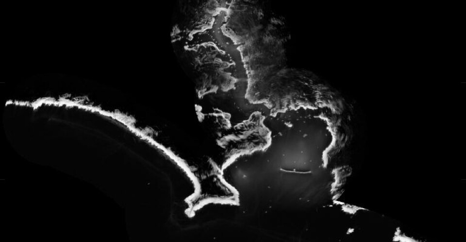
RN vessel, HMS Magpie, was able to chart the waters around Plymouth using only its radar and the new programme which measures wave height. By using the wave-height data and information about tides and currents the software can produce a detailed profile of the seabed in a matter of hours, without the survey vessel having to physically sail over the survey area.
The only prerequisite for the data collection is wind and swell to generate waves. The system is not as detailed as sonar surveys and it only works close to shore, but the new method, known as radar bathymetry, could be vital in times of peace or war when time is short.
The new system was developed by the National Oceanography Centre in Liverpool and Ministry of Defence experts from the Defence Science and Technology Laboratory. Lead project scientist at the National Oceanography Centre, Paul Bell, said: By analysing the sea clutter images of waves visible on standard marine radars a bathymetric profile (that’s the depth) and surface current assessment is created.
“This technique could allow the remote charting of both shallow water and currents from a standoff distance of several nautical miles and could be employed by all Royal Navy Ships using the navigation radars that are already fitted with.”
At present, the software is still in the developmental stages, but the goal is to integrate it with the RN’s existing navigational radar and systems. Lieutenant Commander Mark White, HMS Magpie’s Commanding Officer, said: “The beauty of this concept is that it uses the existing radars already fitted to our ships.”


