Mapping of the Ocean by Drone Submarines
Exploration Submarines to Map the Ocean in the Future
The main reason for increased interest in sustainable ocean energy infrastructure is the United Nations Undersea 2030 program, which aims to map the entire ocean within 10 years.
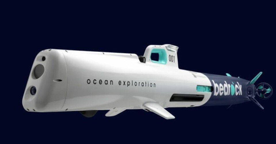
Anthony DiMare and former SpaceX submarine enginner Charles Chiau, are behind the latest example of a company known as Bedrock. They have created a fully electric autonomous submarine that also has a vertically integrated undersea data platform and a variety of service offerings.
There are large emerging markets for submarine mapping that go beyond scientific benefit. Drones have become an important tool for wind energy development and infrastructure maintenance, but careful understanding of the seabed is required when building offshore wind farms.
In Bedrock’s opinion, it currently takes 12 months to survey the seafloor for commercial availability of data. The underwater platforms and data platforms of Bedrock provide data and survey status up to 10 times faster than existing solutions.
Sea exploration will enter a new era due to the miniaturization of technology and the increased use of automation.


